
Day 10: 18 August 2013: Part 2: Chang La to Tangtse
I had read somewhere that Chang La souvenir shop sold only K-top marked caps and merchandise. I thought to check and find out. One reason was also that I really wanted to get something which is hard to find. So I entered the shop and asked for Chang La cap. They said that it wasn’t available and all the merchandise were marked for Khardung La. I insisted them to again check and so they opened a metallic trunk and behold – they pulled out a Chang La cap! Got it for 150 bucks. 🙂
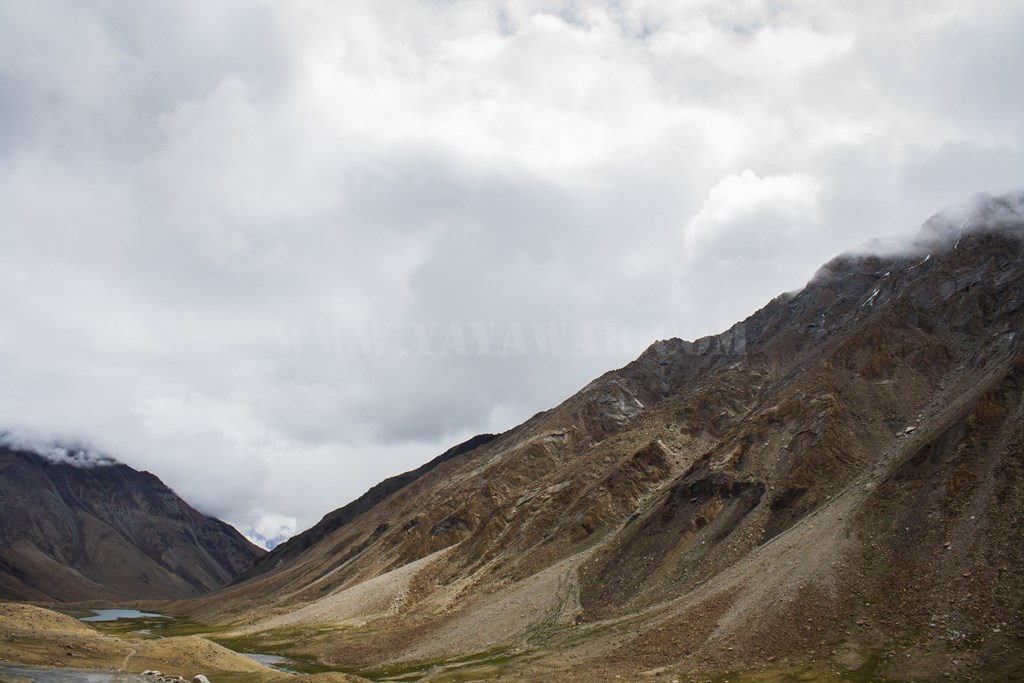
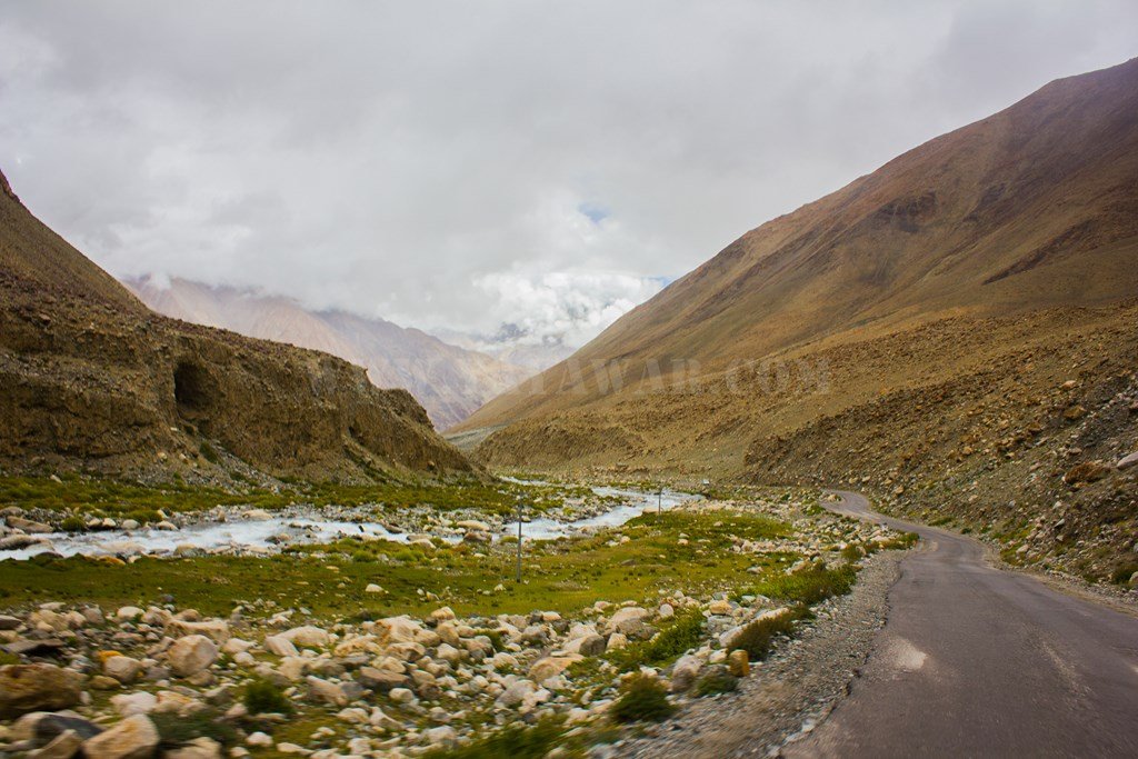
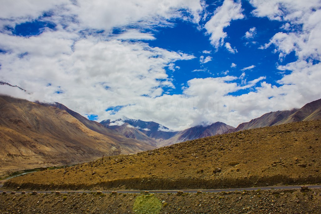
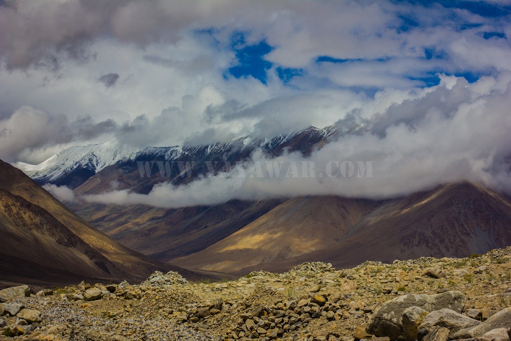
Having done that, we embarked on our onward journey, marked by presence of ice on road side and peaks, cloud and fog everywhere and of course running streams on the road. Some shots…

Lots of clouds

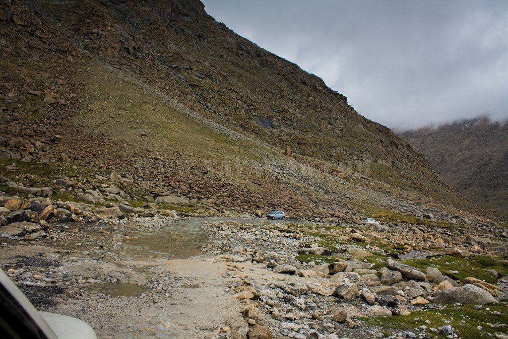

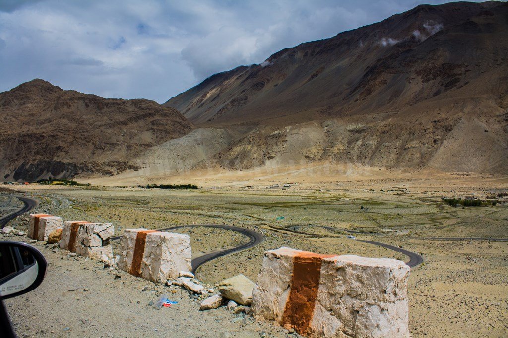
But just before that, we were also reminded of entering in yet another avalanche prone area!

Pretty soon, around 1015, we reached Tsoltak.

Now, every Tso in Ladakh is associated with a Lake, but where is the Tso in Tsoltak?

There? Is it?
Here it is!
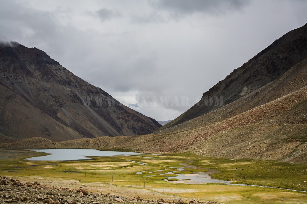
Though not too big, but it is a Lake!

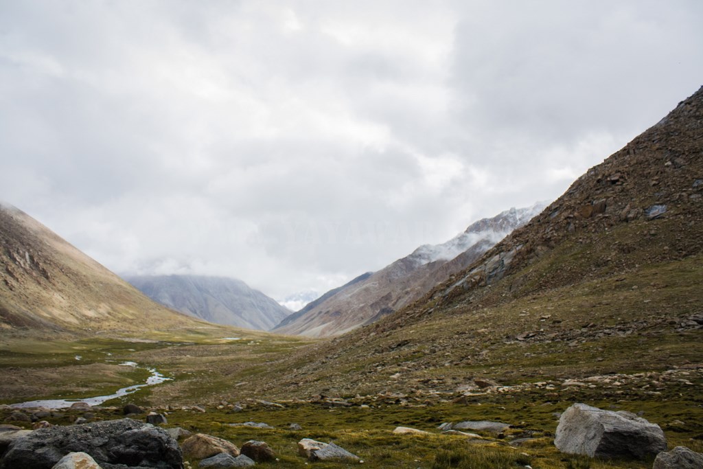
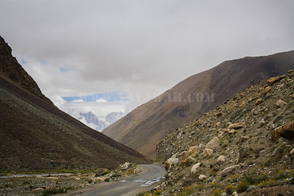
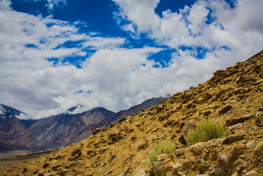
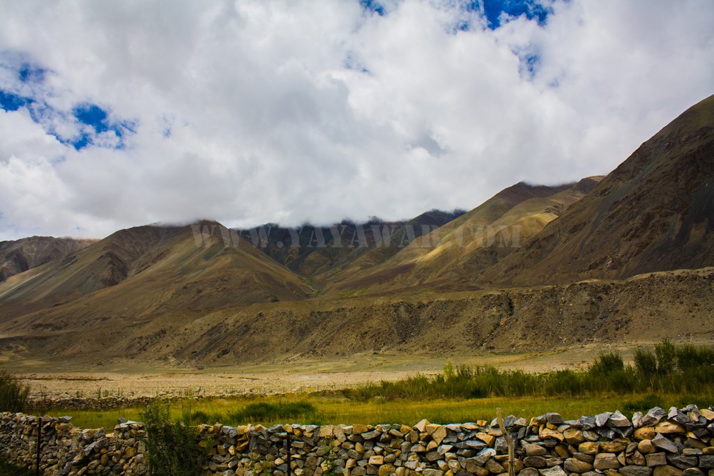
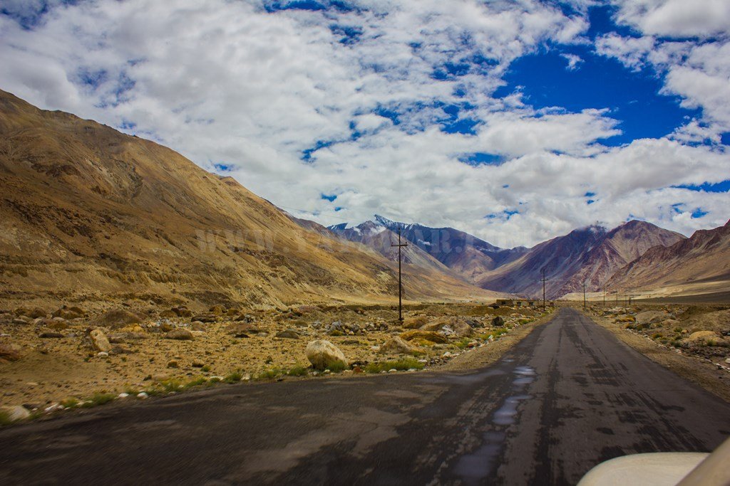
Let’s get going… and as we travel, the clouds are giving company, and so does the changing landscape.


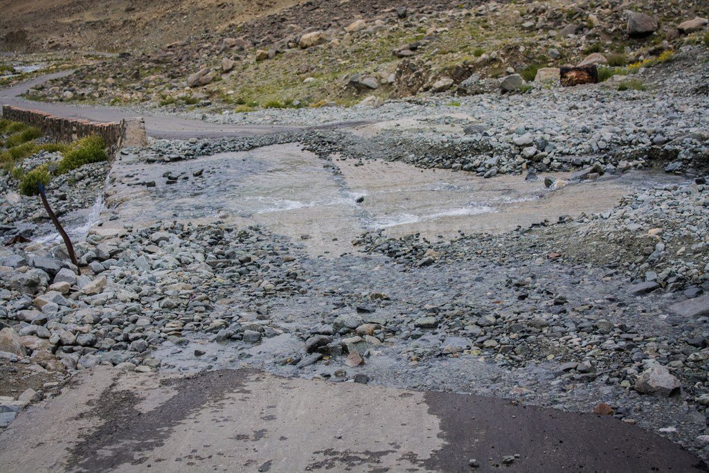
A stream crosses path and then travels along…
giving us competition

And suddenly it widens. Could it be feeding into the Pangong? Have we approached Pangong? Not sure, but lets enjoy the beauty here.

The stream is just besides the road and approachable too. So we stop our car and get down for some photo-op. I want to embrace the pristine water. It’s ice-chilled glacial water.


And then the though strikes my mind. Never else we would get the opportunity to gulp this water. So let’s have some down our throats. I take out my travel folding glass and drink a full – Sweet it is! And so I make everyone drink it. We also fill our bottles for further usage.

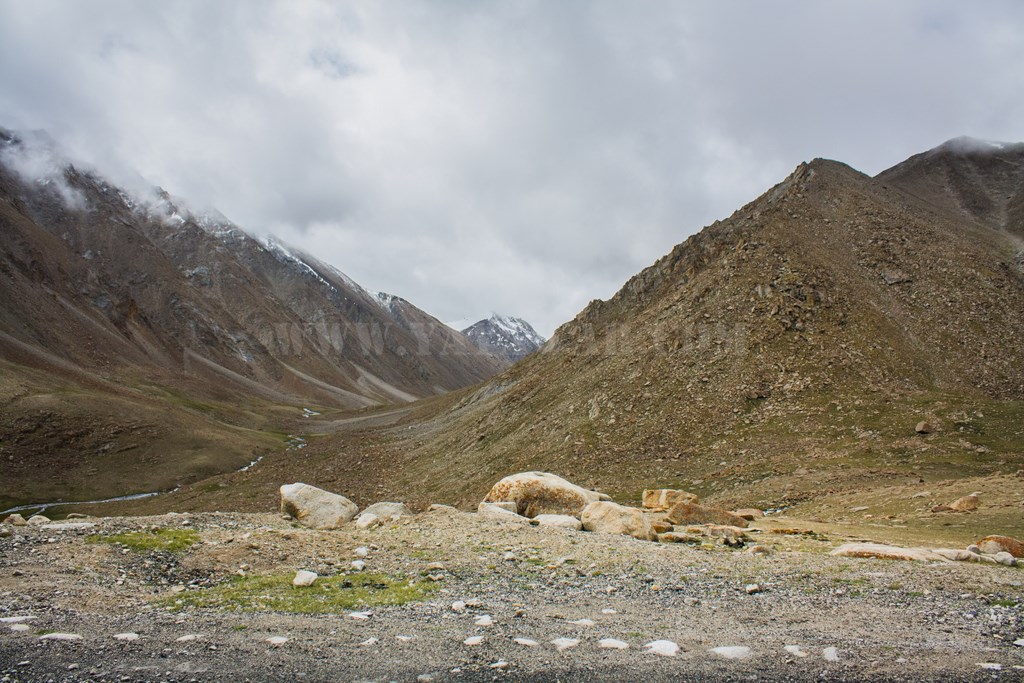
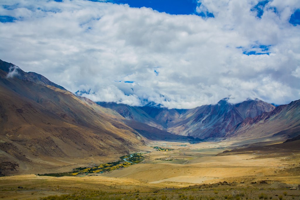
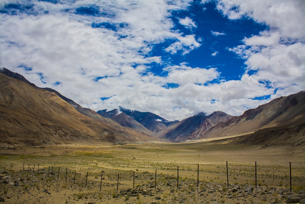
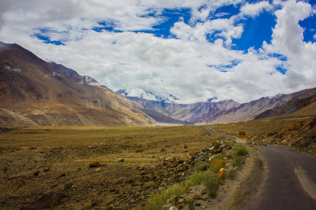
As we ride ahead, we see the vast plateau created by nature. Of course Pangong is not visible and then it comes to my mind – we have not reached Tangtse yet!
We also look back at times…

Soaking in the colours of Ladakh, we descend further and notice the road turning into serpentine, leading to a small settlement.
Darbuk it is and Tangtse is still 6 kms to go. And Pangong further ahead at 41 kms!!

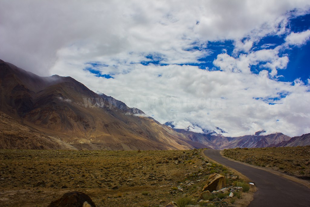
We keep on driving, enjoying the nature, clicking at random…

… and meeting someone who advises us to Train Hard and Fight Easy…

We shoot a horse (ok, no wild hunting here.. our shooting equipment measures in mm and not bore)..

And climb down to see a settlement..

Someone advises us to Never Give Up.

We drive further…
Through the settlement
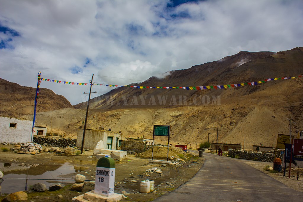
And then a road sign welcomes us to Tangtse.

We drive a little further and reach Tangtse CP for ILP check after crossing a bridge.
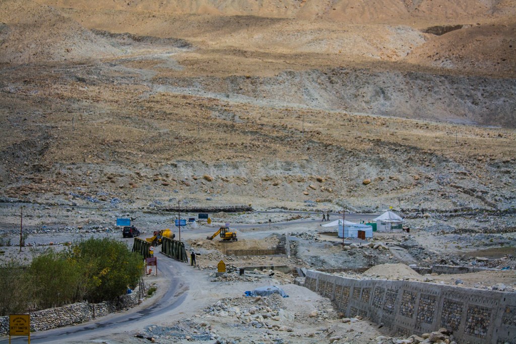
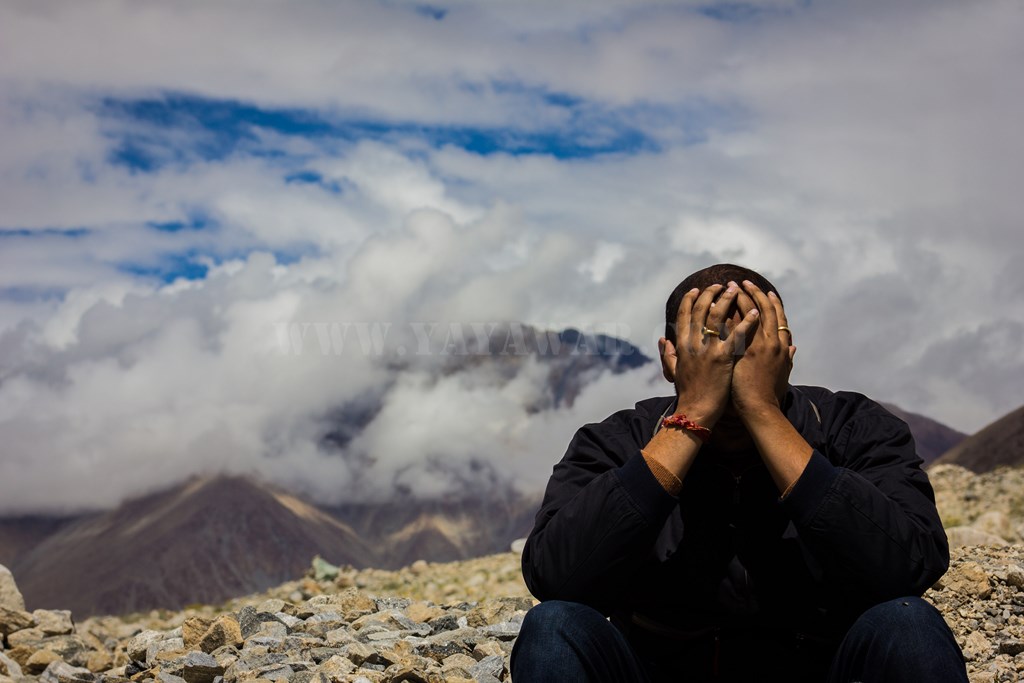
We’re also hungry, but surprisingly, no shop is open yet. While Avi gets our ILP verified and submitted, we stretch out our limbs. There was only one group of tourists with two vehicles there apart from us.So we capture the nature..


and people (our own Tony in different mood)..

And we drive ahead… and the time reads 1210 hrs.
Next: Tangtse to Lukung and the Pangong!
CONTD…
Total Distance covered: Approx 37.5 kms
Driving Directions from Chang La to Tangtse: Drive ahead from Chang La to descend down to Tsoltak and keep on driving to reach Darbuk. The road from Agham via Shyok route joins you here without having to travesrse through Wari La / Khardung La and Chang La, however, the road is not so in good condition and quite prone to landslides. Turn right to go towards Tangtse and without taking any turn continue driving to reach at the Tangtse checkpost barrier.

